Understanding the Map Tools
In this article
Overlay buttons (top of map)
Use these daily to get a quick overview of the property and surrounding neighbourhood. Each button turns an overlay on or off.
[SCREENSHOT: Overlay buttons at the top of the Relab map: Sales, Title, CV, Zoning, Consents, Flood, Services, Schools, Public, Liquefaction and Legend]
Depending on your region, you may see the following overlays:
Sales — shows current listings and recently sold properties
Title — shows each property's title reference and land area
CV — shows council values: capital value (CV), land value % (LV%) and improvements value % (IV%)
Zoning — shows council zoning (residential, commercial etc)
Consents — shows building and resource consents
Flood — shows flooding risks
Services — shows underground infrastructure
Schools — shows school zones. Use the arrow beside it to choose which schools to show
Public — shows government owned land
Liquefaction — shows liquefaction risk in Christchurch
Legend — explains the colours and symbols on the map
Disabled overlay buttons: Some map overlays require a minimum zoom level before they can display data. When you're zoomed out too far, these overlay buttons appear greyed out at the top of the map instead of disappearing entirely. Hover over a greyed-out button to see a "Zoom in to view" tooltip. Zoom in closer and the button becomes active again.
Base map layers
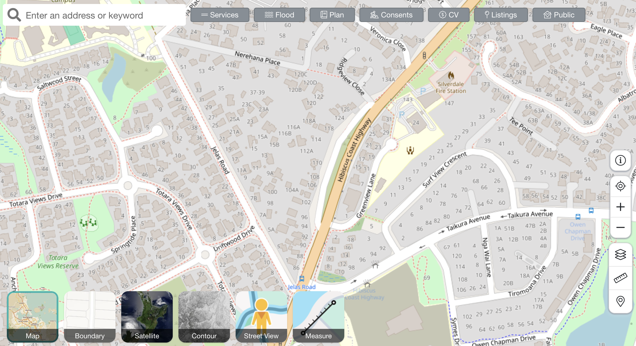
Default map
This map serves as the starting point for all map interactions.
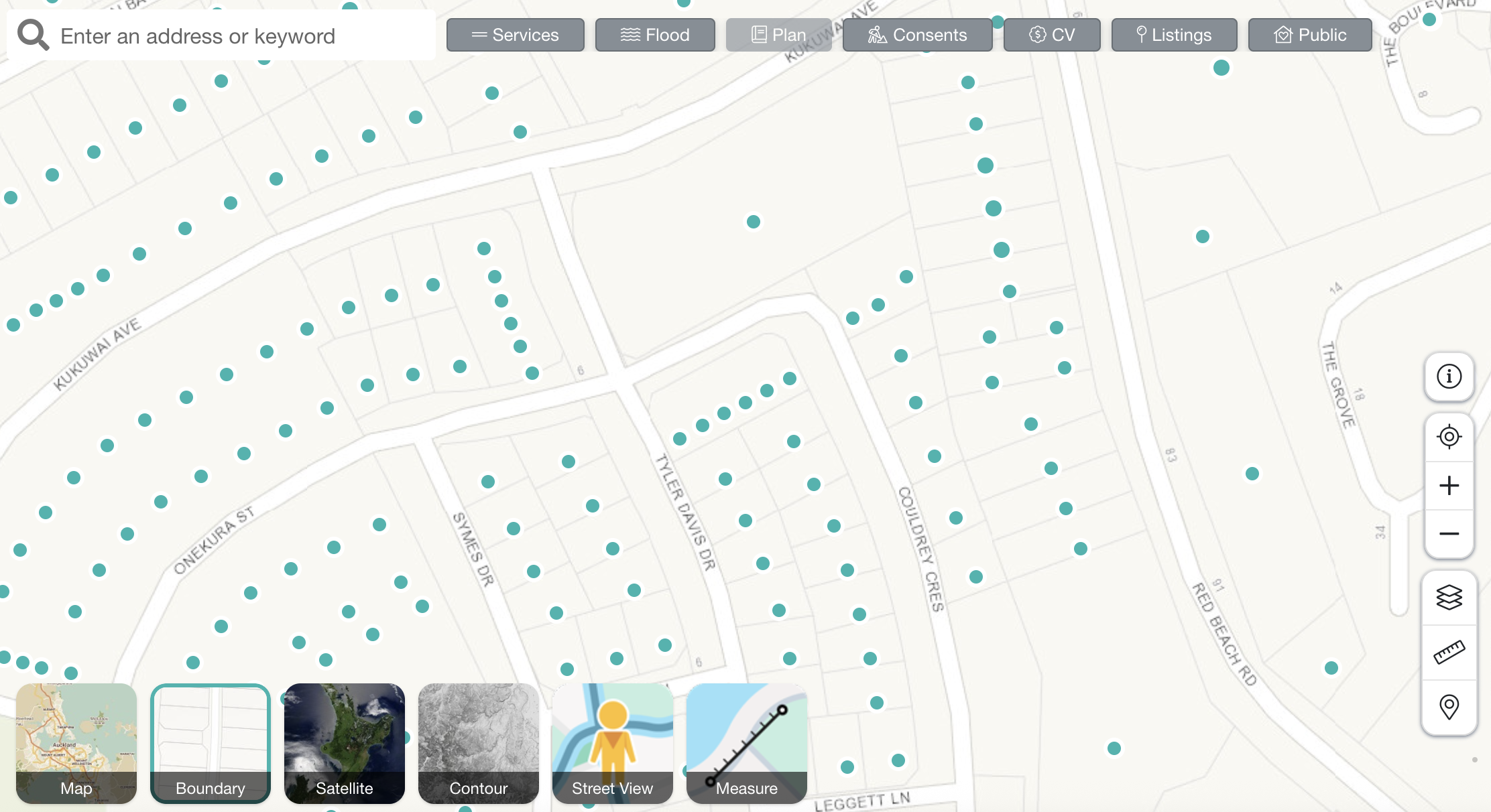
Boundary map
Switch on Boundaries at the bottom left of the map to view the boundary lines around each property. The titles are represented by dots.
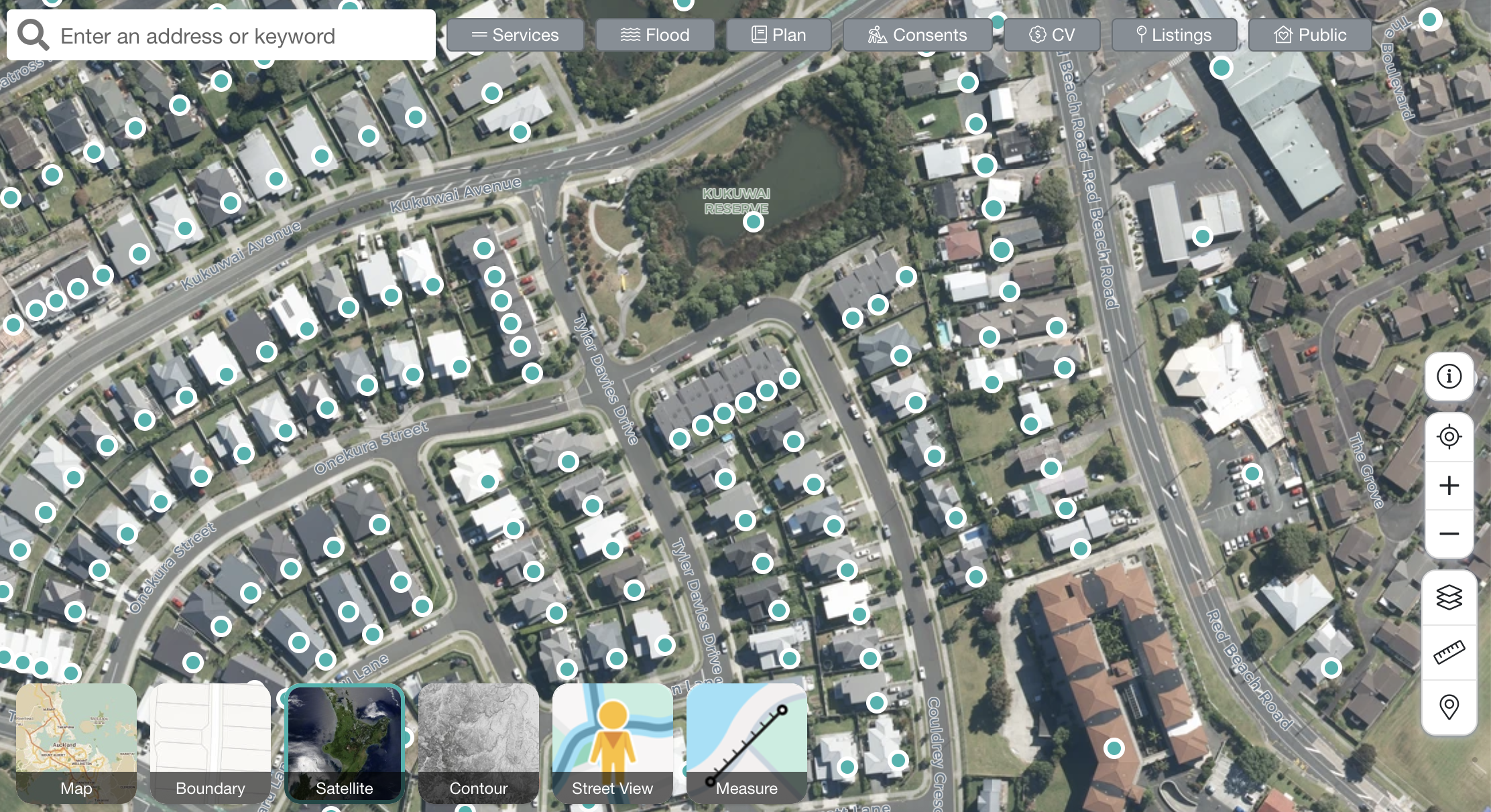
Satellite map
Switch to the Satellite map for a Google Satellite view of the properties. We offer industry-leading typography detail down to 0.5m for the utmost clarity.
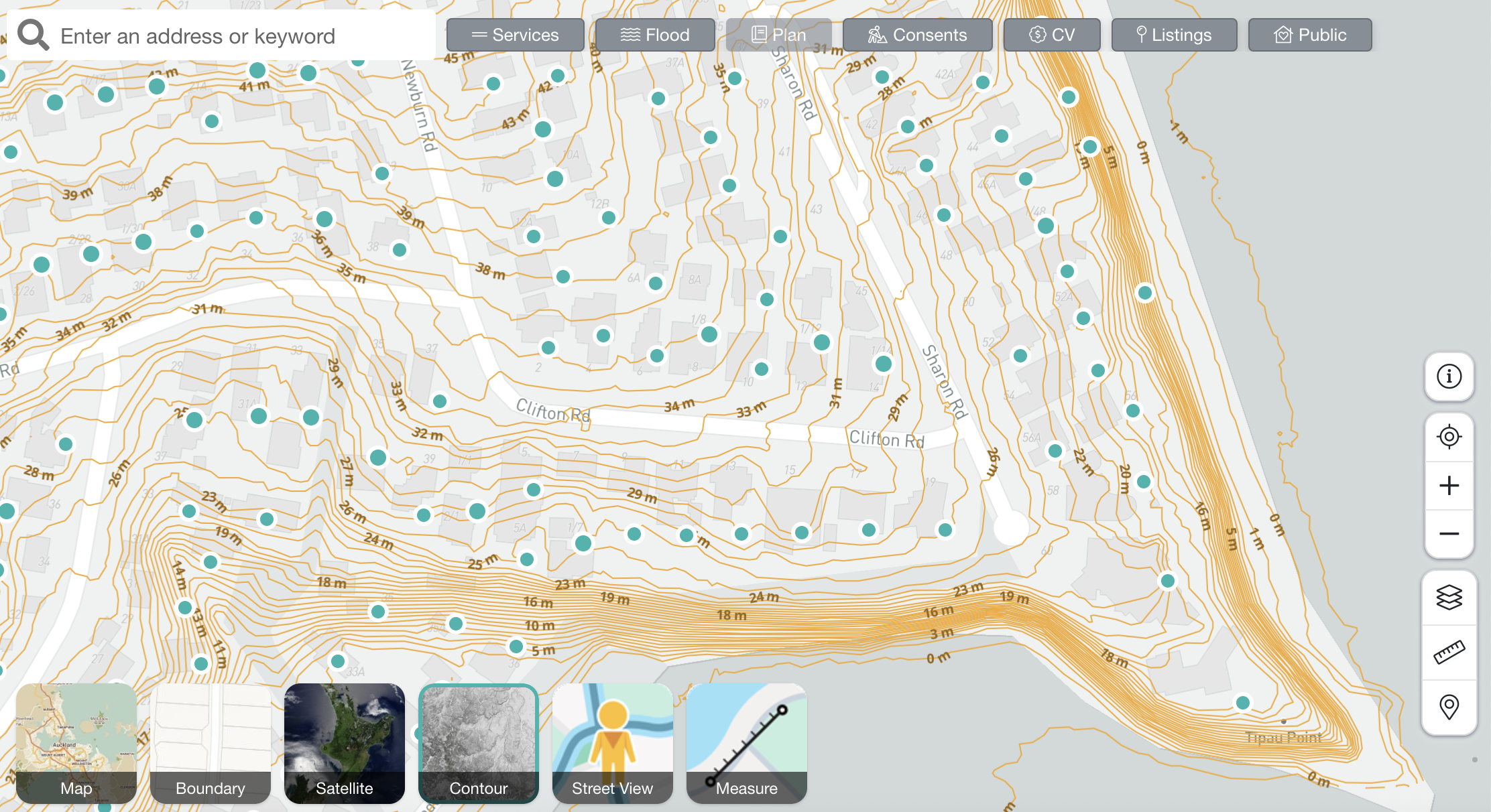
Contour map
Access the contour map to view various contours overlaying the property. Note that contours are measured in metres.
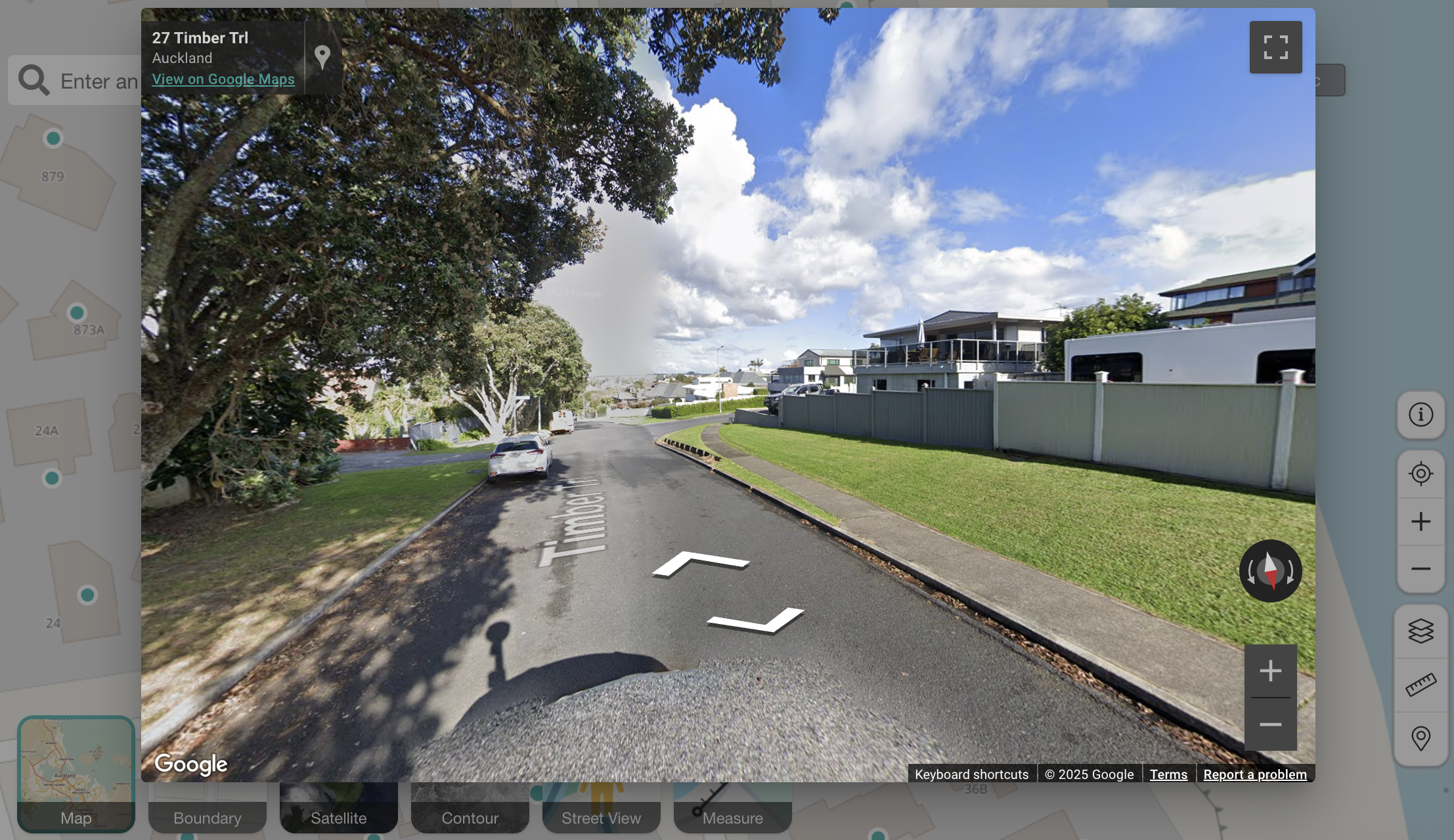
Google Street View
Click Street view at the bottom left of the map. Works just like Google Street View to quickly explore the area.
Measuring tool
Great for measuring up roofs or driveways quickly and easily. For more details, see the Measuring Tool guide.
Additional tools
Export Map — Save any map view as an image
Map Pin — Select properties by clicking anywhere on the map
Multi-Select Tool — Analyse up to 100 properties at once
Polygon Tool — Draw custom shapes for CMA comparables
FAQs
Why is the Zoning button greyed out?
If you see the Zoning option greyed out, this means we have plan data for your region but it cannot be displayed on the Boundary map view. To see zoning, switch to the Default map view, Satellite view, or Contour map view.
Which regions have zoning available?
Zoning data is currently available in key New Zealand regions including Auckland, Waikato, and Christchurch. Coverage is continuously expanding as councils make their data available.
How do I print or save a property map?
The fastest method is to take a screenshot of the map and save it as an image file. Alternatively, you can use the Export Map feature or download our Property Summary Report, which includes an A4-sized map with flooding and services information.
Why can't I see the map layers?
Map layers can be turned on and off using the buttons at the top of your map. They could also be hidden if your browser window is zoomed in, or the map is still loading. Try adjusting your zoom level, resizing the window, or refreshing the page. If the issue continues, try accessing Relab on another browser, we suggest Chrome.
Why can't I see the overlay buttons?
If the buttons aren't visible, they could be hidden if your browser window is zoomed in, or the map is still loading. Try adjusting your zoom level, resizing the window, or refreshing the page. If the issue continues, try accessing Relab on another browser, we suggest Chrome.
🔥 Hot Tips:
Use Legend to quickly and accurately interpret the map data
Many items can be explored in further detail by clicking on them
Ensure you are zoomed in sufficiently to view details on specific map layers, like the boundary and contour maps